
How I Built My Own Naples Walking Tour in 5 Simple Steps (And Why I’d Do It Again)
When I arrived in Naples, I already had tours booked.
A street art walking tour. A food tour through G Adventures. Plenty of structure.
But I still wanted a way to explore the city independently without paying for another guided experience.
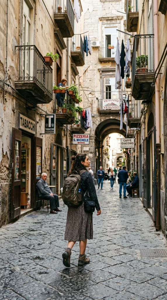
What I ended up building was a hybrid between a self-guided walking tour, a navigation system, and spontaneous exploration — and honestly, it became one of the most personal ways I experienced the city.
It wasn’t perfect.
I took wrong turns, exited the wrong metro station, drained my phone battery faster than expected, and improvised constantly.
But that flexibility was exactly what made it work.
1. I Started With Recommendations From My Accommodation Host
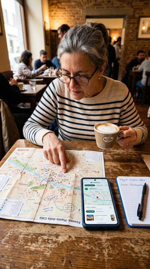
The process began simply.
My accommodation host gave me a paper map marked with popular sights and areas worth exploring. It wasn’t a full walking route, but it gave me a rough sense of where things were located and which parts of the city connected naturally.
That became the foundation.
From there, I started searching online for free walking tours and self-guided travel apps that could help structure the day without completely controlling it.
I wasn’t necessarily looking for the “perfect” tour.
I just wanted enough guidance to move confidently through the city.
2. I Compared Different Walking Tour Apps
The two strongest recommendations I found were:
- Rick Steves Audio Europe
- GPSMyCity
Both approached city exploration differently.
Rick Steves focused more heavily on audio narration. The information was useful, but the map and navigation side felt fairly basic for the way I wanted to move through the city.
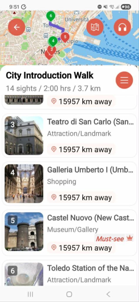
GPSMyCity felt more flexible.
The app offered several different Naples walks, including a broader city introduction route covering around 14 major sights. Some features required payment, especially built-in navigation and parts of the audio system, but there was still enough free information to make the app useful.
That was the point where I realised I didn’t actually need one app to do everything.
3. I Built A Hybrid System Instead
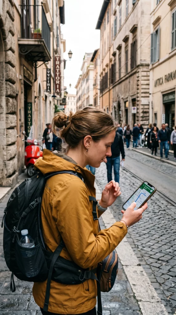
Rather than relying entirely on one platform, I combined several tools together.
I used:
- GPSMyCity for the suggested walking structure
- Google Maps for navigation
- my eSIM data connection for flexibility on the move
- and occasional Google searches whenever I wanted deeper context about a location
That combination worked far better than I expected.
The walking route gave me direction, but I never felt locked into it.
If I wanted to stop somewhere longer, I could. If a location didn’t interest me, I skipped it. Sometimes I sat quietly reading more about a place before moving on.
The experience felt structured without feeling controlled.
4. A Few Things Went Wrong (And That Was Fine)
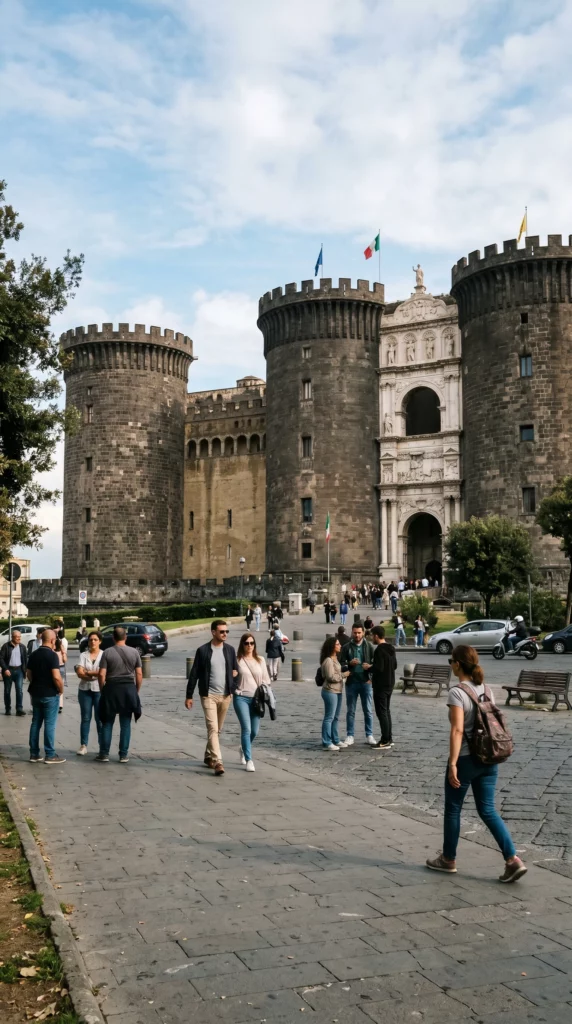
Like most independent travel days, the experience wasn’t perfectly smooth.
I exited the wrong metro station and accidentally started at the fifth stop on the route rather than the first — although in Naples, it’s fairly hard to miss Castel Nuovo once you emerge nearby.
Google Maps also produced the occasional wrong turn, especially in smaller streets.
And the biggest practical issue was battery drain.
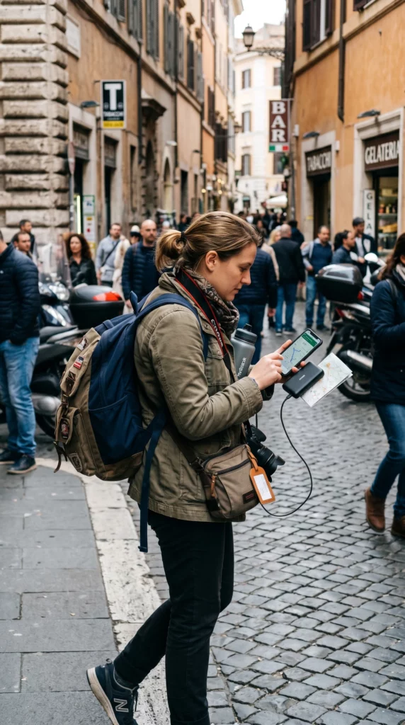
Running navigation, mobile data, photos, videos, and travel apps at the same time drains phones surprisingly quickly. Thankfully, I almost always travel with a power bank now, which turned out to be essential.
But none of these problems actually ruined the experience.
If anything, they made the day feel more real and flexible.
5. The Freedom Changed How I Experienced The City

The biggest difference between this and a traditional guided tour was freedom.
I could move entirely at my own pace.
If I wanted to sit somewhere for an hour, I could have. If something felt uninteresting, I skipped it. If I became curious about a building, church, or square, I could immediately stop and explore further.
That flexibility made the experience feel more personal.
Instead of trying to absorb everything, I naturally started identifying the places I genuinely wanted to revisit later — and potentially spend money on for a deeper experience.
It transformed the walk from “seeing Naples” into slowly understanding which parts of Naples connected with me personally.
Independent Exploration Doesn’t Need To Be Perfect
Before travelling, it’s easy to assume independent exploration requires:
- confidence
- extensive planning
- or deep local knowledge
In reality, most of it is improvisation.
Maps fail. Routes change. You get distracted. You take wrong exits.
But that flexibility is often what creates the strongest memories.
The goal isn’t to perfectly recreate a professional guided tour.
It’s to build an experience that feels personal to you.

TLDR
- I used a mix of GPSMyCity, Google Maps, and free research to build my own Naples walking tour
- A hybrid approach worked better than relying entirely on one app
- Flexibility allowed me to move at my own pace and skip things that didn’t interest me
- Wrong turns and small mistakes became part of the experience
- Carrying a power bank became essential
- The experience felt more personal than a traditional guided tour
FAQ
Can you build your own walking tour in Naples?
Yes. With basic navigation tools, travel apps, and some flexibility, it’s very possible to create your own self-guided walking experience in Naples.
What app is best for self-guided walking tours?
Apps like GPSMyCity and Rick Steves Audio Europe both offer useful self-guided tour options, depending on whether you prefer written or audio-based exploration.
Is GPSMyCity free?
GPSMyCity offers both free and paid features. Some walking routes and written information are available without payment.
Do self-guided walking tours work well?
They can work extremely well for travellers who value flexibility and independent pacing.
What should I bring for a self-guided walking tour?
A charged phone, mobile data or eSIM access, comfortable shoes, and a power bank are all very useful for independent walking days.